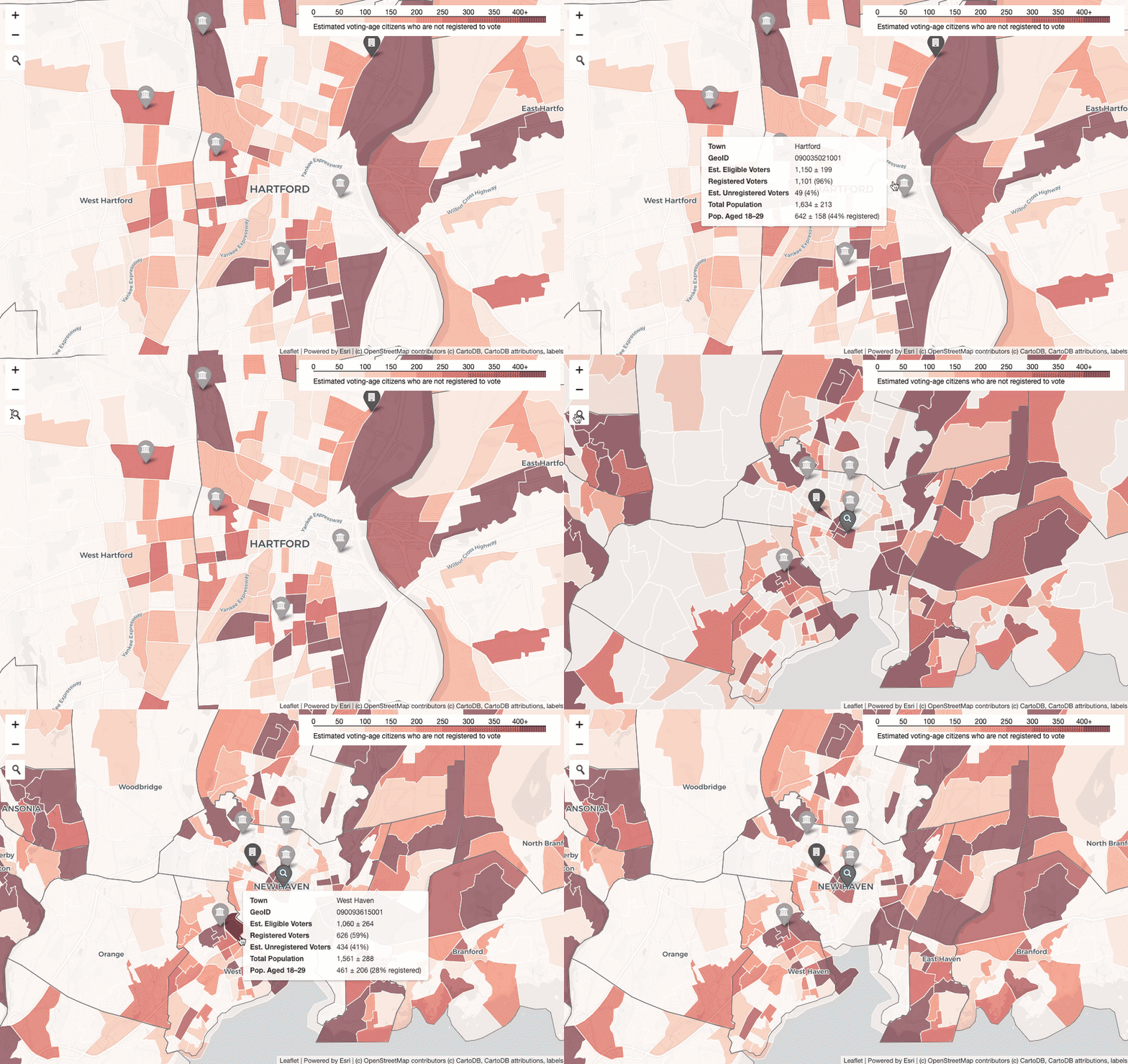
Get Out the Vote Map
In partnership with CTData Collaborative, Picturedigits created an interactive map of potential unregistered voters in Connecticut which aims to assist volunteers and organizations in their pre-election registration efforts.

Process
Using parallel requests to the US Census geocoder, addresses of 2.4 million registered voters in Connecticut were geocoded (translated into latitude and longitude values) with a 94% success rate.
All points were then aggregated by census block group (areas of 600—3,000 people), and estimates of unregistered voters were derived based on the Citizen Voting-Age Population dataset.
To help explains some areas with unusually high numbers of unregistered voters, markers for colleges and universities with housing, as well as prisons were added.
Data
Voter data was obtained in July 2020 from the Secretary of the State.